Close

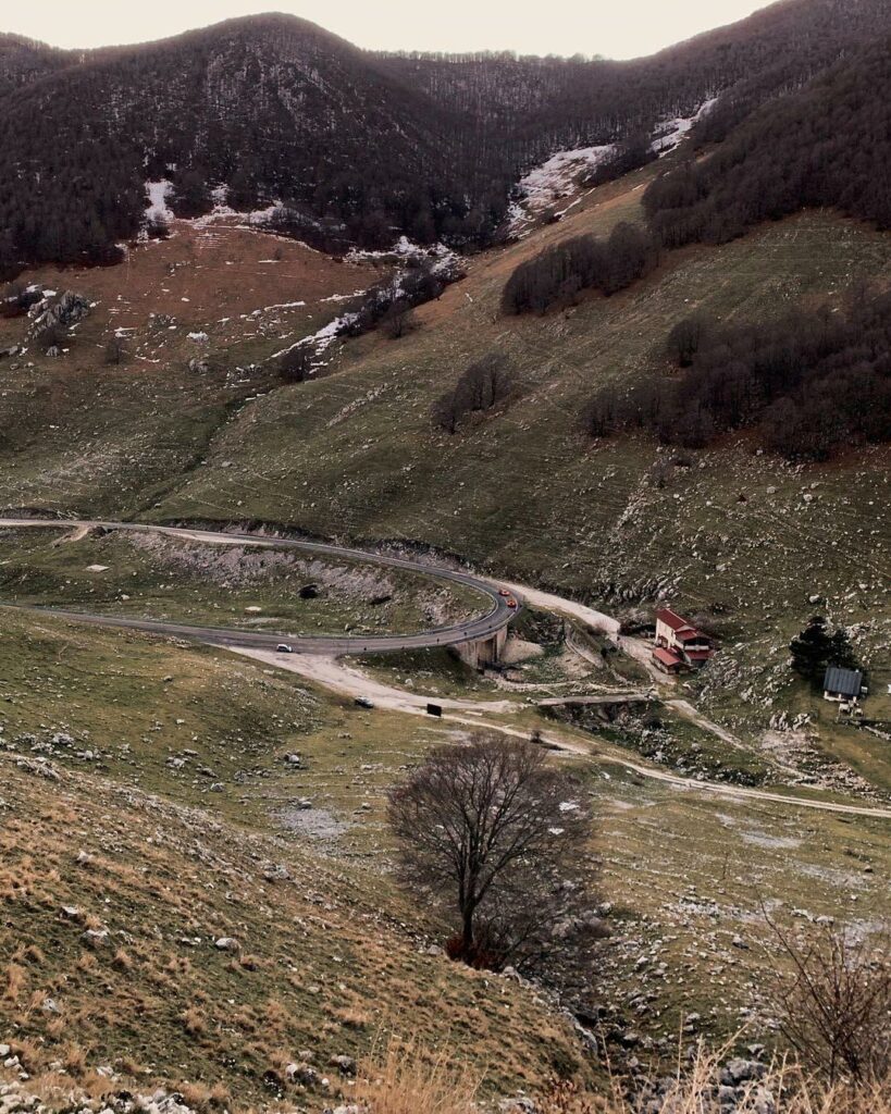
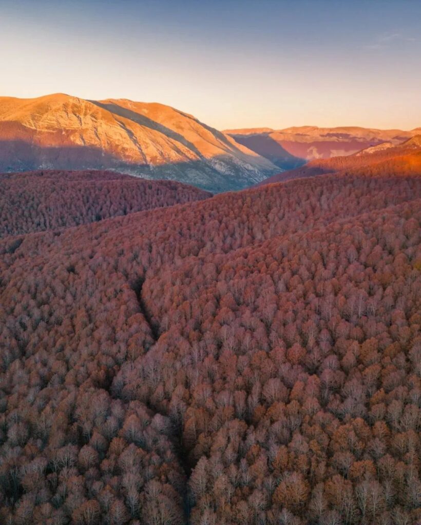
Forca d’Acero is a mountain pass located in the Abruzzo Apennines, at an altitude of 1,538 metres above sea level.
ADDRESS
SR509, San Donato Val di Comino (FR)
ACCESSIBILITY
By car, E-Bike
DISTANCE
10 km
It is located along the Apennine watershed separating the provinces of L’Aquila and Frosinone and is the only direct road access to the Abruzzo National Park from the Lazio area. This pass is an important tourist attraction due to its strategic location and the typically beautiful Apennine landscape.
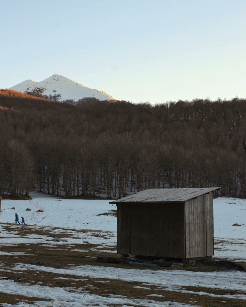
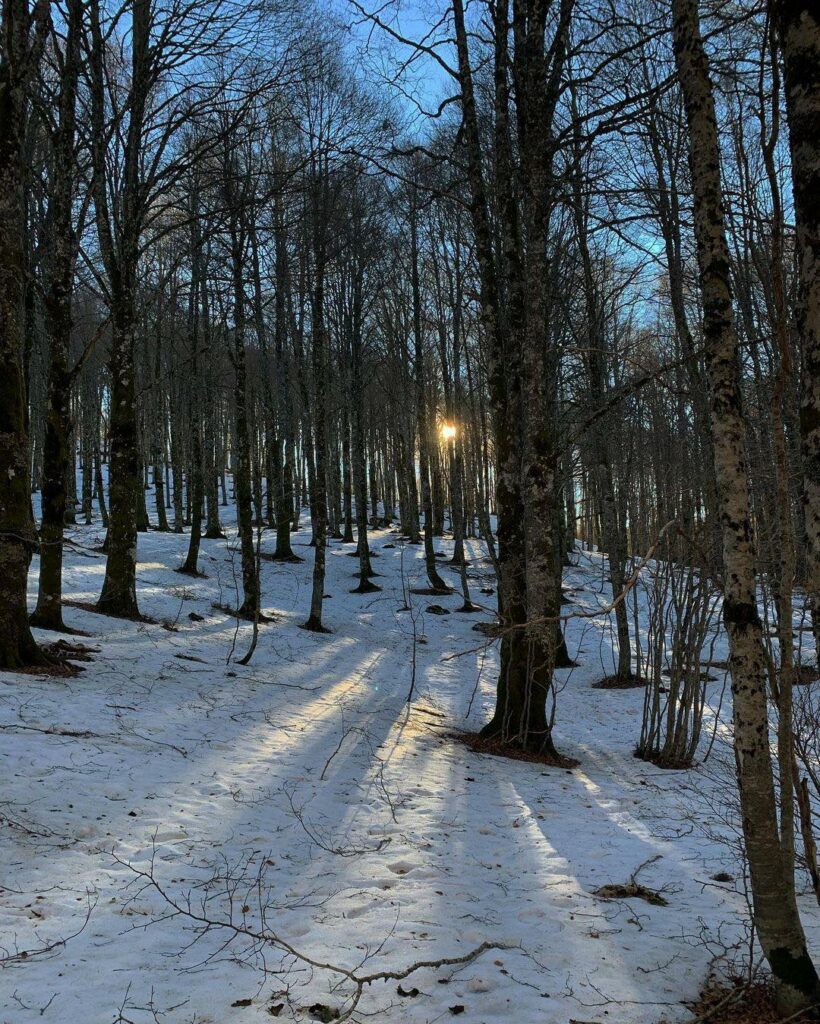
The pass is signalled by the Forca d’Acero State Road 509 and is one of the few Apennine passes connecting the two provinces, together with the Serra Sant’Antonio pass. It is a quiet place with little traffic, used for tourist activities throughout the year. In summer, Forca d’Acero is an ideal starting point for excursions in the surrounding area, while in winter it is a popular destination for winter sports, especially cross-country skiing.
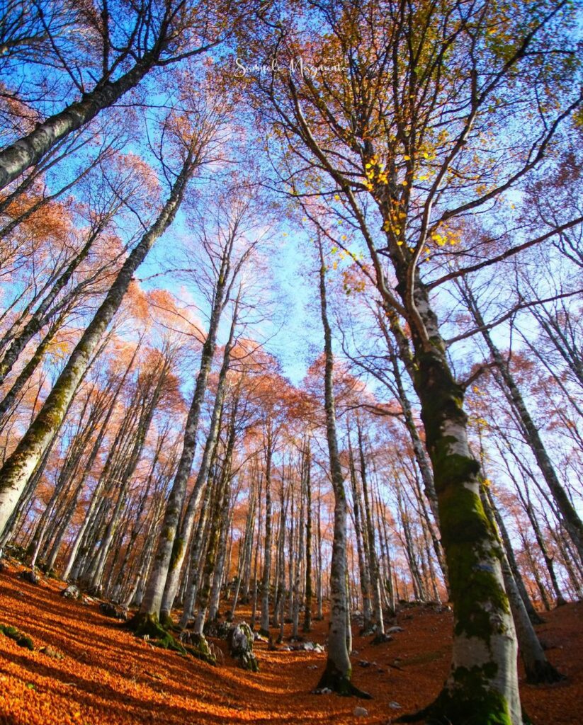
The pass has an equipped area with a refuge and is surrounded by a wooded area with a centuries-old beech forest. The Campo Lungo plateau, located near the pass, is surrounded by an unspoilt Apennine landscape and the Monte Tranquillo mountain range (1841 metres above sea level). This unique and evocative place offers visitors the opportunity to explore the natural beauty of the Apennines and enjoy an unforgettable experience.
